Canada Topographic Maps

County of Mountain View No. 17 Topo Maps

Topography maps and Latitude/Longitude Location

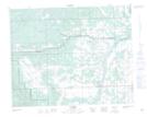
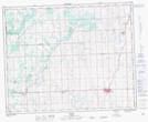
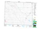
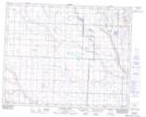
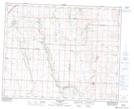
Maps showing County of Mountain View No. 17, 31-2-W5, Alberta

County of Mountain View No. 17 is a Major municipal/district area - major agglomeration located in 31-2-W5, Alberta.

  • Latitude: 51° 40' 43'' North   (decimal: 51.6785999)
  • Longitude: 114° 14' 12'' West   (decimal: -114.2367000)
  • Topography Feature Category: Major municipal/district area - major agglomeration
  • Geographical Feature: County
  • Canadian Province/Territory: Alberta
  • Location: 31-2-W5
  • GPS Coordinate Locator Map: County of Mountain View No. 17 Lat/Long

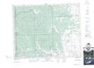
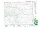
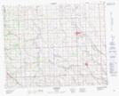
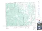
County of Mountain View No. 17 NTS Map Sheets

082O07 Wildcat Hills Topographic Map at 1:50,000 scale

082O08 Crossfield Topographic Map at 1:50,000 scale

082O09 Didsbury Topographic Map at 1:50,000 scale

082O10 Fallentimber Topographic Map at 1:50,000 scale

082O15 Sundre Topographic Map at 1:50,000 scale

082O16 Olds Topographic Map at 1:50,000 scale

082P05 Irricana Topographic Map at 1:50,000 scale

082P12 Lonepine Creek Topographic Map at 1:50,000 scale

082P13 Torrington Topographic Map at 1:50,000 scale

082O Calgary Topographic Map at 1:250,000 scale

082P Drumheller Topographic Map at 1:250,000 scale

 
Buy Topographic Maps DVD
Newsletter Sign-up

Yes, I want to receive map store discounts.


Bookmark and Share