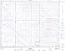
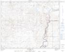
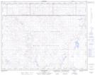
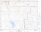
Maps showing Stewart Depression, 18-7,8-W4, Alberta
Stewart Depression is a Valley located in 18-7,8-W4, Alberta and has an elevation of 782 meters.
- Latitude: 50° 32' 11'' North (decimal: 50.5363889)
- Longitude: 110° 56' 33'' West (decimal: -110.9425000)
- Topography Feature Category: Valley
- Geographical Feature: Depression
- Canadian Province/Territory: Alberta
- Elevation: 782 meters
- Location: 18-7,8-W4
- Atlas of Canada Locator Map: Stewart Depression
- GPS Coordinate Locator Map: Stewart Depression Lat/Long
Stewart Depression NTS Map Sheets