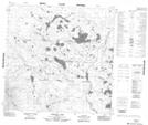
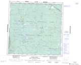
Maps showing Isidore Lake, 119-22-W4, Alberta
Isidore Lake is a Lake located in 119-22-W4, Alberta and has an elevation of 293 meters.
- Latitude: 59° 21' 56'' North (decimal: 59.3655555)
- Longitude: 113° 44' 59'' West (decimal: -113.7497221)
- Topography Feature Category: Lake
- Geographical Feature: Lake
- Canadian Province/Territory: Alberta
- Elevation: 293 meters
- Location: 119-22-W4
- Atlas of Canada Locator Map: Isidore Lake
- GPS Coordinate Locator Map: Isidore Lake Lat/Long
Isidore Lake NTS Map Sheets