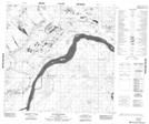
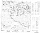
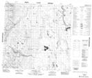
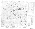
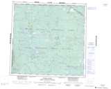
Maps showing Jackfish River, 116-17-W4, Alberta
Jackfish River is a River located in 116-17-W4, Alberta and has an elevation of 225 meters.
- Latitude: 59° 3' 30'' North (decimal: 59.0583333)
- Longitude: 112° 52' 34'' West (decimal: -112.8761111)
- Topography Feature Category: River
- Geographical Feature: River
- Canadian Province/Territory: Alberta
- Elevation: 225 meters
- Location: 116-17-W4
- Atlas of Canada Locator Map: Jackfish River
- GPS Coordinate Locator Map: Jackfish River Lat/Long
Jackfish River NTS Map Sheets