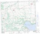
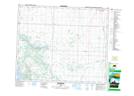
Maps showing Mulhurst, 15-47-28-W4, Alberta
Mulhurst is a Unincorporated area located in 15-47-28-W4, Alberta and has an elevation of 858 meters.
- Latitude: 53° 3' 16'' North (decimal: 53.0544443)
- Longitude: 113° 59' 44'' West (decimal: -113.9955556)
- Topography Feature Category: Unincorporated area
- Geographical Feature: Hamlet
- Canadian Province/Territory: Alberta
- Elevation: 858 meters
- Location: 15-47-28-W4
- Atlas of Canada Locator Map: Mulhurst
- GPS Coordinate Locator Map: Mulhurst Lat/Long
Mulhurst NTS Map Sheets