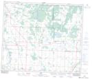
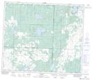
Maps showing Munyass Lake, 63-24-W4, Alberta
Munyass Lake is a Lake located in 63-24-W4, Alberta and has an elevation of 656 meters.
- Latitude: 54° 29' 53'' North (decimal: 54.4980555)
- Longitude: 113° 31' 46'' West (decimal: -113.5294444)
- Topography Feature Category: Lake
- Geographical Feature: Lake
- Canadian Province/Territory: Alberta
- Elevation: 656 meters
- Location: 63-24-W4
- Atlas of Canada Locator Map: Munyass Lake
- GPS Coordinate Locator Map: Munyass Lake Lat/Long
Munyass Lake NTS Map Sheets