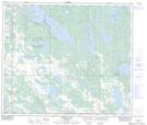
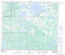
Maps showing Olympic Lake, 64-14-W4, Alberta
Olympic Lake is a Lake located in 64-14-W4, Alberta and has an elevation of 612 meters.
- Latitude: 54° 31' 20'' North (decimal: 54.5222222)
- Longitude: 111° 59' 40'' West (decimal: -111.9944443)
- Topography Feature Category: Lake
- Geographical Feature: Lake
- Canadian Province/Territory: Alberta
- Elevation: 612 meters
- Location: 64-14-W4
- Atlas of Canada Locator Map: Olympic Lake
- GPS Coordinate Locator Map: Olympic Lake Lat/Long
Olympic Lake NTS Map Sheets