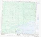
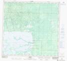
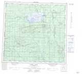
Maps showing Omega River, 113-5-W6, Alberta
Omega River is a River located in 113-5-W6, Alberta.
- Latitude: 58° 49' 40'' North (decimal: 58.8277777)
- Longitude: 118° 46' 00'' West (decimal: -118.7666666)
- Topography Feature Category: River
- Geographical Feature: River
- Canadian Province/Territory: Alberta
- Location: 113-5-W6
- Atlas of Canada Locator Map: Omega River
- GPS Coordinate Locator Map: Omega River Lat/Long
Omega River NTS Map Sheets