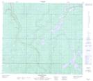
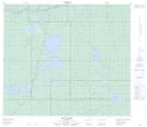
Maps showing Clyde Lake, 73-10-W4, Alberta
Clyde Lake is a Lake located in 73-10-W4, Alberta and has an elevation of 653 meters.
- Latitude: 55° 18' 24'' North (decimal: 55.3066666)
- Longitude: 111° 29' 6'' West (decimal: -111.4850000)
- Topography Feature Category: Lake
- Geographical Feature: Lake
- Canadian Province/Territory: Alberta
- Elevation: 653 meters
- Location: 73-10-W4
- Atlas of Canada Locator Map: Clyde Lake
- GPS Coordinate Locator Map: Clyde Lake Lat/Long
Clyde Lake NTS Map Sheets