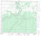
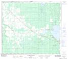
Maps showing Cornwall Creek, 2-71-1-W6, Alberta
Cornwall Creek is a River located in 2-71-1-W6, Alberta and has an elevation of 605 meters.
- Latitude: 55° 7' 39'' North (decimal: 55.1275000)
- Longitude: 118° 2' 29'' West (decimal: -118.0413888)
- Topography Feature Category: River
- Geographical Feature: Creek
- Canadian Province/Territory: Alberta
- Elevation: 605 meters
- Location: 2-71-1-W6
- Atlas of Canada Locator Map: Cornwall Creek
- GPS Coordinate Locator Map: Cornwall Creek Lat/Long
Cornwall Creek NTS Map Sheets