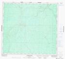
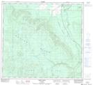
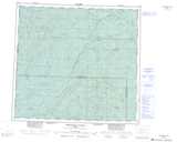
Maps showing Naylor Hills, 99-24-W5, Alberta
Naylor Hills is a Mountain located in 99-24-W5, Alberta and has an elevation of 705 meters.
- Latitude: 57° 36' 37'' North (decimal: 57.6102778)
- Longitude: 117° 49' 59'' West (decimal: -117.8330555)
- Topography Feature Category: Mountain
- Geographical Feature: Hills
- Canadian Province/Territory: Alberta
- Elevation: 705 meters
- Location: 99-24-W5
- Atlas of Canada Locator Map: Naylor Hills
- GPS Coordinate Locator Map: Naylor Hills Lat/Long
Naylor Hills NTS Map Sheets