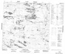
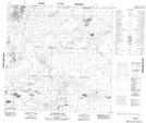
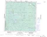
Maps showing Ninishith Hills, 124-21-W4, Alberta
Ninishith Hills is a Mountain located in 124-21-W4, Alberta and has an elevation of 294 meters.
- Latitude: 59° 50' North (decimal: 59.8333333)
- Longitude: 113° 25' West (decimal: -113.4166666)
- Topography Feature Category: Mountain
- Geographical Feature: Hills
- Canadian Province/Territory: Alberta
- Elevation: 294 meters
- Location: 124-21-W4
- Atlas of Canada Locator Map: Ninishith Hills
- GPS Coordinate Locator Map: Ninishith Hills Lat/Long
Ninishith Hills NTS Map Sheets