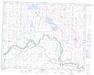
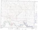
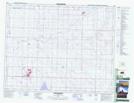
Maps showing Crowfoot Creek, 21-20-W4, Alberta
Crowfoot Creek is a River located in 21-20-W4, Alberta and has an elevation of 871 meters.
- Latitude: 50° 48' 9'' North (decimal: 50.8025000)
- Longitude: 112° 39' 47'' West (decimal: -112.6630556)
- Topography Feature Category: River
- Geographical Feature: Creek
- Canadian Province/Territory: Alberta
- Elevation: 871 meters
- Location: 21-20-W4
- Atlas of Canada Locator Map: Crowfoot Creek
- GPS Coordinate Locator Map: Crowfoot Creek Lat/Long
Crowfoot Creek NTS Map Sheets