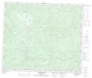
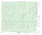
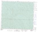
Maps showing Cutbank River, 66-4-W6, Alberta
Cutbank River is a River located in 66-4-W6, Alberta and has an elevation of 662 meters.
- Latitude: 54° 42' 25'' North (decimal: 54.7069444)
- Longitude: 118° 32' 17'' West (decimal: -118.5380556)
- Topography Feature Category: River
- Geographical Feature: River
- Canadian Province/Territory: Alberta
- Elevation: 662 meters
- Location: 66-4-W6
- Atlas of Canada Locator Map: Cutbank River
- GPS Coordinate Locator Map: Cutbank River Lat/Long
Cutbank River NTS Map Sheets