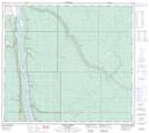
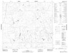
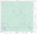
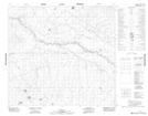
Maps showing North Steepbank River, 90-7-W4, Alberta
North Steepbank River is a River located in 90-7-W4, Alberta and has an elevation of 449 meters.
- Latitude: 56° 51' 4'' North (decimal: 56.8511110)
- Longitude: 111° 5' 7'' West (decimal: -111.0852777)
- Topography Feature Category: River
- Geographical Feature: River
- Canadian Province/Territory: Alberta
- Elevation: 449 meters
- Location: 90-7-W4
- Atlas of Canada Locator Map: North Steepbank River
- GPS Coordinate Locator Map: North Steepbank River Lat/Long
North Steepbank River NTS Map Sheets