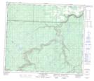
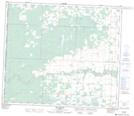
Maps showing Twin Lakes, 69-11-W6, Alberta
Twin Lakes is a Lake located in 69-11-W6, Alberta and has an elevation of 727 meters.
- Latitude: 55° 0' 20'' North (decimal: 55.0055555)
- Longitude: 119° 35' 39'' West (decimal: -119.5941667)
- Topography Feature Category: Lake
- Geographical Feature: Lakes
- Canadian Province/Territory: Alberta
- Elevation: 727 meters
- Location: 69-11-W6
- Atlas of Canada Locator Map: Twin Lakes
- GPS Coordinate Locator Map: Twin Lakes Lat/Long
Twin Lakes NTS Map Sheets