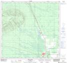
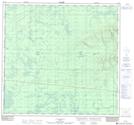
Maps showing Mount Watt, 111-21-W5, Alberta
Mount Watt is a Mountain located in 111-21-W5, Alberta and has an elevation of 708 meters.
- Latitude: 58° 38' 50'' North (decimal: 58.6472222)
- Longitude: 117° 30' 21'' West (decimal: -117.5058332)
- Topography Feature Category: Mountain
- Geographical Feature: Mount
- Canadian Province/Territory: Alberta
- Elevation: 708 meters
- Location: 111-21-W5
- Atlas of Canada Locator Map: Mount Watt
- GPS Coordinate Locator Map: Mount Watt Lat/Long
Mount Watt NTS Map Sheets