Maps showing County of Wetaskiwin No. 10, 46-1-W5, Alberta
County of Wetaskiwin No. 10 is a Major municipal/district area - major agglomeration located in 46-1-W5, Alberta.
- Latitude: 52° 56' 51'' North (decimal: 52.9475000)
- Longitude: 114° 3' 57'' West (decimal: -114.0658332)
- Topography Feature Category: Major municipal/district area - major agglomeration
- Geographical Feature: Municipal District
- Canadian Province/Territory: Alberta
- Location: 46-1-W5
- Atlas of Canada Locator Map: County of Wetaskiwin No. 10
- GPS Coordinate Locator Map: County of Wetaskiwin No. 10 Lat/Long
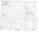
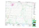
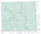
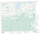
County of Wetaskiwin No. 10 NTS Map Sheets
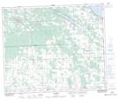
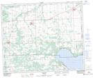
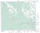
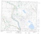
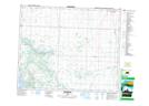
083A13 Bearhills Lake Topographic Map at 1:50,000 scale
083A14 Wetaskiwin Topographic Map at 1:50,000 scale
083B14 Brazeau Forks Topographic Map at 1:50,000 scale
083B15 Buck Lake Topographic Map at 1:50,000 scale
083B16 Winfield Topographic Map at 1:50,000 scale
083G01 Warburg Topographic Map at 1:50,000 scale
083G02 Drayton Valley Topographic Map at 1:50,000 scale
083G03 Blue Rapids Topographic Map at 1:50,000 scale
083H03 Bittern Lake Topographic Map at 1:50,000 scale
083H04 Kavanagh Topographic Map at 1:50,000 scale
083A Red Deer Topographic Map at 1:250,000 scale
083B Rocky Mountain House Topographic Map at 1:250,000 scale
083G Wabamun Lake Topographic Map at 1:250,000 scale
083H Edmonton Topographic Map at 1:250,000 scale