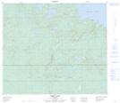
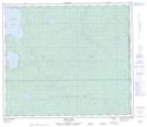
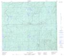
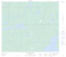
Maps showing Winefred Lake, 75-3,4-W4, Alberta
Winefred Lake is a Lake located in 75-3,4-W4, Alberta and has an elevation of 586 meters.
- Latitude: 55° 29' 49'' North (decimal: 55.4969444)
- Longitude: 110° 32' 12'' West (decimal: -110.5366667)
- Topography Feature Category: Lake
- Geographical Feature: Lake
- Canadian Province/Territory: Alberta
- Elevation: 586 meters
- Location: 75-3,4-W4
- Atlas of Canada Locator Map: Winefred Lake
- GPS Coordinate Locator Map: Winefred Lake Lat/Long
Winefred Lake NTS Map Sheets