Maps showing Kakwa River, 65-4-W6, Alberta
Kakwa River is a River located in 65-4-W6, Alberta and has an elevation of 825 meters.
- Latitude: 54° 36' 49'' North (decimal: 54.6136111)
- Longitude: 118° 27' 38'' West (decimal: -118.4605556)
- Topography Feature Category: River
- Geographical Feature: River
- Canadian Province/Territory: Alberta
- Elevation: 825 meters
- Location: 65-4-W6
- Atlas of Canada Locator Map: Kakwa River
- GPS Coordinate Locator Map: Kakwa River Lat/Long
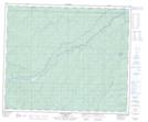
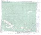
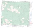
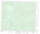
Kakwa River NTS Map Sheets
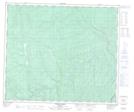
083L02 Bolton Creek Topographic Map at 1:50,000 scale
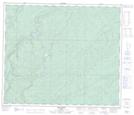
083L03 Copton Creek Topographic Map at 1:50,000 scale
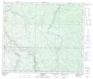
083L04 Kakwa Falls Topographic Map at 1:50,000 scale
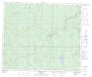
083L05 Two Lakes Topographic Map at 1:50,000 scale
083L06 Chicken Creek Topographic Map at 1:50,000 scale
083L07 Prairie Creek Topographic Map at 1:50,000 scale
083L08 Amundson Topographic Map at 1:50,000 scale
083L09 Latornell Topographic Map at 1:50,000 scale
083L10 Cutbank River Topographic Map at 1:50,000 scale
083L Wapiti Topographic Map at 1:250,000 scale