Canada Topographic Maps

Paddle River Topo Maps

Topography maps and Latitude/Longitude Location

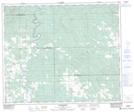
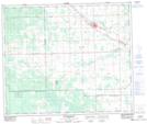
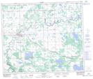
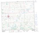
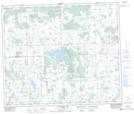
Maps showing Paddle River, 15-59-2-W5, Alberta

Paddle River is a River located in 15-59-2-W5, Alberta and has an elevation of 642 meters.

  • Latitude: 54° 6' 21'' North   (decimal: 54.1058333)
  • Longitude: 114° 14' 51'' West   (decimal: -114.2475000)
  • Topography Feature Category: River
  • Geographical Feature: River
  • Canadian Province/Territory: Alberta
  • Elevation: 642 meters
  • Location: 15-59-2-W5
  • Atlas of Canada Locator Map: Paddle River
  • GPS Coordinate Locator Map: Paddle River Lat/Long

Paddle River NTS Map Sheets

083G13 Hattonford Topographic Map at 1:50,000 scale

083G14 Mayerthorpe Topographic Map at 1:50,000 scale

083G15 Sangudo Topographic Map at 1:50,000 scale

083J01 Barrhead Topographic Map at 1:50,000 scale

083J02 Thunder Lake Topographic Map at 1:50,000 scale

083G Wabamun Lake Topographic Map at 1:250,000 scale

083J Whitecourt Topographic Map at 1:250,000 scale

 
Buy Topographic Maps DVD
Newsletter Sign-up

Yes, I want to receive map store discounts.


Bookmark and Share