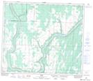
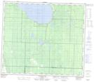
Maps showing Deep Creek, 16-68-21-W4, Alberta
Deep Creek is a River located in 16-68-21-W4, Alberta and has an elevation of 651 meters.
- Latitude: 54° 53' 34'' North (decimal: 54.8927778)
- Longitude: 113° 8' 4'' West (decimal: -113.1344443)
- Topography Feature Category: River
- Geographical Feature: Creek
- Canadian Province/Territory: Alberta
- Elevation: 651 meters
- Location: 16-68-21-W4
- Atlas of Canada Locator Map: Deep Creek
- GPS Coordinate Locator Map: Deep Creek Lat/Long
Deep Creek NTS Map Sheets