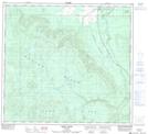
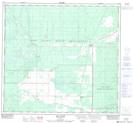
Maps showing Kemp River, 101-22-W5, Alberta
Kemp River is a River located in 101-22-W5, Alberta and has an elevation of 385 meters.
- Latitude: 57° 44' 47'' North (decimal: 57.7463888)
- Longitude: 117° 34' 38'' West (decimal: -117.5772222)
- Topography Feature Category: River
- Geographical Feature: River
- Canadian Province/Territory: Alberta
- Elevation: 385 meters
- Location: 101-22-W5
- Atlas of Canada Locator Map: Kemp River
- GPS Coordinate Locator Map: Kemp River Lat/Long
Kemp River NTS Map Sheets