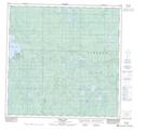
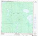
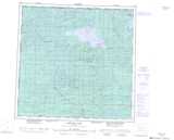
Maps showing Pert Creek, 125-1-W6, Alberta
Pert Creek is a River located in 125-1-W6, Alberta.
- Latitude: 59° 49' 38'' North (decimal: 59.8272222)
- Longitude: 118° 2' 9'' West (decimal: -118.0358332)
- Topography Feature Category: River
- Geographical Feature: Creek
- Canadian Province/Territory: Alberta
- Location: 125-1-W6
- Atlas of Canada Locator Map: Pert Creek
- GPS Coordinate Locator Map: Pert Creek Lat/Long
Pert Creek NTS Map Sheets