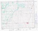
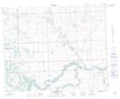
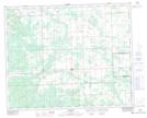
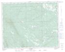
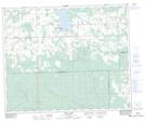
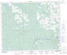
Maps showing Municipal District of Clearwater No. 99, 38-12-W5, Alberta
Municipal District of Clearwater No. 99 is a Major municipal/district area - major agglomeration located in 38-12-W5, Alberta.
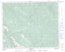
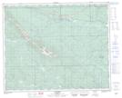
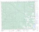
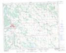
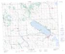
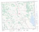
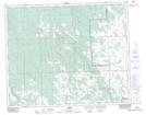
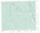
Municipal District of Clearwater No. 99 NTS Map Sheets
082N15 Mistaya Lake Topographic Map at 1:50,000 scale
082N16 Siffleur River Topographic Map at 1:50,000 scale
082O10 Fallentimber Topographic Map at 1:50,000 scale
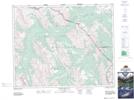
082O11 Burnt Timber Creek Topographic Map at 1:50,000 scale
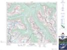
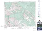
082O12 Barrier Mountain Topographic Map at 1:50,000 scale
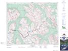
082O13 Forbidden Creek Topographic Map at 1:50,000 scale
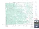
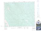
082O14 Limestone Mountain Topographic Map at 1:50,000 scale
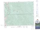
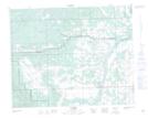
082O15 Sundre Topographic Map at 1:50,000 scale
082O16 Olds Topographic Map at 1:50,000 scale
083B01 Markerville Topographic Map at 1:50,000 scale
083B02 Caroline Topographic Map at 1:50,000 scale
083B03 Tay River Topographic Map at 1:50,000 scale
083B04 Elk Creek Topographic Map at 1:50,000 scale
083B05 Saunders Topographic Map at 1:50,000 scale
083B06 Crimson Lake Topographic Map at 1:50,000 scale
083B07 Rocky Mountain House Topographic Map at 1:50,000 scale
083B08 Sylvan Lake Topographic Map at 1:50,000 scale
083B09 Rimbey Topographic Map at 1:50,000 scale
083B10 Carlos Topographic Map at 1:50,000 scale
083B11 Baptiste River Topographic Map at 1:50,000 scale
083B15 Buck Lake Topographic Map at 1:50,000 scale
083G03 Blue Rapids Topographic Map at 1:50,000 scale
082N Golden Topographic Map at 1:250,000 scale
082O Calgary Topographic Map at 1:250,000 scale
083B Rocky Mountain House Topographic Map at 1:250,000 scale
083G Wabamun Lake Topographic Map at 1:250,000 scale