Maps showing Berland River, Alberta
Berland River is a River located in Alberta and has an elevation of 982 meters.
- Latitude: 54° 0' 13'' North (decimal: 54.0036110)
- Longitude: 116° 50' 36'' West (decimal: -116.8433332)
- Topography Feature Category: River
- Geographical Feature: River
- Canadian Province/Territory: Alberta
- Elevation: 982 meters
- Atlas of Canada Locator Map: Berland River
- GPS Coordinate Locator Map: Berland River Lat/Long
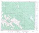
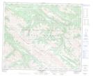
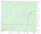
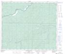
Berland River NTS Map Sheets
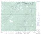
083E09 Moberly Creek Topographic Map at 1:50,000 scale
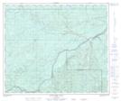
083E10 Adams Lookout Topographic Map at 1:50,000 scale
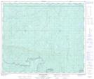
083E16 Donald Flats Topographic Map at 1:50,000 scale
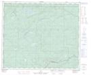
083F13 Hightower Creek Topographic Map at 1:50,000 scale
083F14 Wildhay River Topographic Map at 1:50,000 scale
083K02 Marsh Head Creek Topographic Map at 1:50,000 scale
083K03 Berland River Topographic Map at 1:50,000 scale
083K04 No Title Topographic Map at 1:50,000 scale
083E Mount Robson Topographic Map at 1:250,000 scale
083F Edson Topographic Map at 1:250,000 scale
083K Iosegun Lake Topographic Map at 1:250,000 scale