Canada Topographic Maps

Suffield Training Area Topo Maps

Topography maps and Latitude/Longitude Location

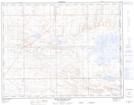
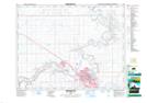
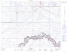
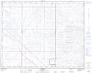
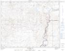
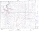
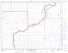
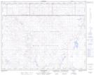
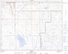
Maps showing Suffield Training Area, 15,16,17,18,19,20-3,4,5,6,7,8,9-W4, Alberta

Suffield Training Area is a Military area located in 15,16,17,18,19,20-3,4,5,6,7,8,9-W4, Alberta.

  • Latitude: 50° 27' 5'' North   (decimal: 50.4514000)
  • Longitude: 110° 50' 20'' West   (decimal: -110.8389000)
  • Topography Feature Category: Military area
  • Geographical Feature: C.F.T.A.
  • Canadian Province/Territory: Alberta
  • Location: 15,16,17,18,19,20-3,4,5,6,7,8,9-W4
  • Atlas of Canada Locator Map: Suffield Training Area
  • GPS Coordinate Locator Map: Suffield Training Area Lat/Long

Suffield Training Area NTS Map Sheets

072L01 Many Island Lake Topographic Map at 1:50,000 scale

072L02 Medicine Hat Topographic Map at 1:50,000 scale

072L03 Suffield Topographic Map at 1:50,000 scale

072L06 Alderson Topographic Map at 1:50,000 scale

072L07 Watching Hill Topographic Map at 1:50,000 scale

072L08 Hilda Topographic Map at 1:50,000 scale

072L09 The Middle Sand Hills Topographic Map at 1:50,000 scale

072L10 Easy Coulee Topographic Map at 1:50,000 scale

072L11 Jenner Topographic Map at 1:50,000 scale

072L Medicine Hat Topographic Map at 1:250,000 scale

 
Buy Topographic Maps DVD
Newsletter Sign-up

Yes, I want to receive map store discounts.


Bookmark and Share