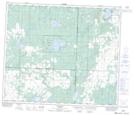
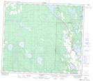
Maps showing Sunset Beach, 26-66-24-W4, Alberta
Sunset Beach is a Village located in 26-66-24-W4, Alberta and has an elevation of 582 meters.
- Latitude: 54° 43' 39'' North (decimal: 54.7275000)
- Longitude: 113° 32' 40'' West (decimal: -113.5444444)
- Topography Feature Category: Village
- Geographical Feature: Summer Village
- Canadian Province/Territory: Alberta
- Elevation: 582 meters
- Location: 26-66-24-W4
- Atlas of Canada Locator Map: Sunset Beach
- GPS Coordinate Locator Map: Sunset Beach Lat/Long
Sunset Beach NTS Map Sheets