Maps showing Municipal District of Birch Hills No. 19, 4-78-1-W6, Alberta
Municipal District of Birch Hills No. 19 is a Major municipal/district area - major agglomeration located in 4-78-1-W6, Alberta.
- Latitude: 55° 43' 23'' North (decimal: 55.7231000)
- Longitude: 118° 4' 38'' West (decimal: -118.0771999)
- Topography Feature Category: Major municipal/district area - major agglomeration
- Geographical Feature: Municipal District
- Canadian Province/Territory: Alberta
- Location: 4-78-1-W6
- GPS Coordinate Locator Map: Municipal District of Birch Hills No. 19 Lat/Long
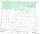
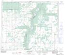
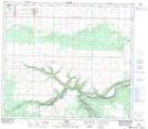
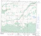
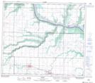
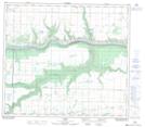
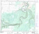
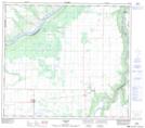
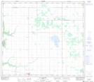
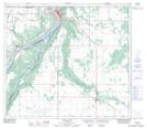
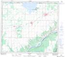
Municipal District of Birch Hills No. 19 NTS Map Sheets
083M07 Sexsmith Topographic Map at 1:50,000 scale
083M08 Smoky Heights Topographic Map at 1:50,000 scale
083M09 Peoria Topographic Map at 1:50,000 scale
083M10 Woking Topographic Map at 1:50,000 scale
083M15 Rycroft Topographic Map at 1:50,000 scale
083M16 Codesa Topographic Map at 1:50,000 scale
083N12 Watino Topographic Map at 1:50,000 scale
083N13 Tangent Topographic Map at 1:50,000 scale
083N14 Lac Magloire Topographic Map at 1:50,000 scale
084C03 Peace River Topographic Map at 1:50,000 scale
084C04 Grimshaw Topographic Map at 1:50,000 scale
083M Grande Prairie Topographic Map at 1:250,000 scale
083N Winagami Topographic Map at 1:250,000 scale
084C Peace River Topographic Map at 1:250,000 scale