Canada Topographic Maps

Swartz Creek Topo Maps

Topography maps and Latitude/Longitude Location

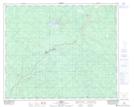
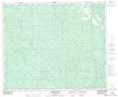
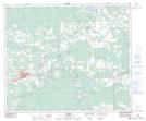
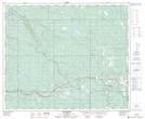
Maps showing Swartz Creek, 31-52-17-W5, Alberta

Swartz Creek is a River located in 31-52-17-W5, Alberta.

  • Latitude: 53° 32' 5'' North   (decimal: 53.5347222)
  • Longitude: 116° 29' 40'' West   (decimal: -116.4944443)
  • Topography Feature Category: River
  • Geographical Feature: Creek
  • Canadian Province/Territory: Alberta
  • Location: 31-52-17-W5
  • Atlas of Canada Locator Map: Swartz Creek
  • GPS Coordinate Locator Map: Swartz Creek Lat/Long

Swartz Creek NTS Map Sheets

083F07 Erith Topographic Map at 1:50,000 scale

083F08 Moose Creek Topographic Map at 1:50,000 scale

083F09 Edson Topographic Map at 1:50,000 scale

083F10 Bickerdike Topographic Map at 1:50,000 scale

083F Edson Topographic Map at 1:250,000 scale

 
Buy Topographic Maps DVD
Newsletter Sign-up

Yes, I want to receive map store discounts.


Bookmark and Share