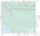
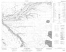
Maps showing Poacher's Creek, 34-88-3-W4, Alberta
Poacher's Creek is a River located in 34-88-3-W4, Alberta.
- Latitude: 56° 40' 47'' North (decimal: 56.6797221)
- Longitude: 110° 22' 50'' West (decimal: -110.3805556)
- Topography Feature Category: River
- Geographical Feature: Creek
- Canadian Province/Territory: Alberta
- Location: 34-88-3-W4
- Atlas of Canada Locator Map: Poacher's Creek
- GPS Coordinate Locator Map: Poacher's Creek Lat/Long
Poacher's Creek NTS Map Sheets