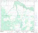
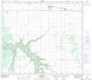
Maps showing White Mud Creek, 13-76-23-W5, Alberta
White Mud Creek is a River located in 13-76-23-W5, Alberta.
- Latitude: 55° 35' 19'' North (decimal: 55.5886111)
- Longitude: 117° 25' 59'' West (decimal: -117.4330555)
- Topography Feature Category: River
- Geographical Feature: Creek
- Canadian Province/Territory: Alberta
- Location: 13-76-23-W5
- Atlas of Canada Locator Map: White Mud Creek
- GPS Coordinate Locator Map: White Mud Creek Lat/Long
White Mud Creek NTS Map Sheets