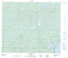
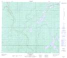
Maps showing Buffalo Lake, 6-71-12-W4, Alberta
Buffalo Lake is a Lake located in 6-71-12-W4, Alberta.
- Latitude: 55° 7' 24'' North (decimal: 55.1233333)
- Longitude: 111° 50' 3'' West (decimal: -111.8341667)
- Topography Feature Category: Lake
- Geographical Feature: Lake
- Canadian Province/Territory: Alberta
- Location: 6-71-12-W4
- Atlas of Canada Locator Map: Buffalo Lake
- GPS Coordinate Locator Map: Buffalo Lake Lat/Long
Buffalo Lake NTS Map Sheets