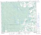
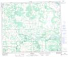
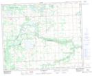
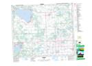
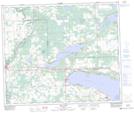
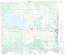
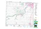
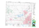
Maps showing Parkland County, 14-52-3-W5, Alberta
Parkland County is a Major municipal/district area - major agglomeration located in 14-52-3-W5, Alberta.
- Latitude: 53° 28' 58'' North (decimal: 53.4827999)
- Longitude: 114° 22' 10'' West (decimal: -114.3693999)
- Topography Feature Category: Major municipal/district area - major agglomeration
- Geographical Feature: Municipal District
- Canadian Province/Territory: Alberta
- Location: 14-52-3-W5
- Atlas of Canada Locator Map: Parkland County
- GPS Coordinate Locator Map: Parkland County Lat/Long
Parkland County NTS Map Sheets
083G06 Easyford Topographic Map at 1:50,000 scale
083G07 Tomahawk Topographic Map at 1:50,000 scale
083G08 Telfordville Topographic Map at 1:50,000 scale
083G09 Onoway Topographic Map at 1:50,000 scale
083G10 Isle Lake Topographic Map at 1:50,000 scale
083G11 Chip Lake Topographic Map at 1:50,000 scale
083H05 Leduc Topographic Map at 1:50,000 scale
083H12 St Albert Topographic Map at 1:50,000 scale
083G Wabamun Lake Topographic Map at 1:250,000 scale
083H Edmonton Topographic Map at 1:250,000 scale