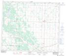
Maps showing County of Athabasca No. 12, Alberta
County of Athabasca No. 12 is a Major municipal/district area - major agglomeration located in Alberta.
- Latitude: 54° 13' 27'' North (decimal: 54.2242000)
- Longitude: 113° 3' 0'' West (decimal: -113.0500000)
- Topography Feature Category: Major municipal/district area - major agglomeration
- Geographical Feature: County
- Canadian Province/Territory: Alberta
- GPS Coordinate Locator Map: County of Athabasca No. 12 Lat/Long