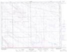
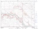
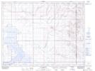
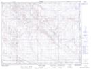
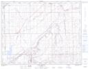
Maps showing Cypress County, 11-6-W4, Alberta
Cypress County is a Major municipal/district area - major agglomeration located in 11-6-W4, Alberta.
- Latitude: 49° 52' 23'' North (decimal: 49.8731000)
- Longitude: 110° 40' 51'' West (decimal: -110.6807999)
- Topography Feature Category: Major municipal/district area - major agglomeration
- Geographical Feature: Municipal District
- Canadian Province/Territory: Alberta
- Location: 11-6-W4
- Atlas of Canada Locator Map: Cypress County
- GPS Coordinate Locator Map: Cypress County Lat/Long
Cypress County NTS Map Sheets