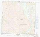
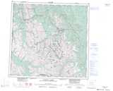
Maps showing Academy Ridge, Peace River Land District, British Columbia
Academy Ridge is a Mountain located in Peace River Land District, British Columbia.
- Latitude: 58° 42' 38'' North (decimal: 58.7105556)
- Longitude: 125° 26' 12'' West (decimal: -125.436667)
- Topography Feature Category: Mountain
- Geographical Feature: Ridge
- Canadian Province/Territory: British Columbia
- Location: Peace River Land District
- Atlas of Canada Locator Map: Academy Ridge
- GPS Coordinate Locator Map: Academy Ridge Lat/Long
Academy Ridge NTS Map Sheets