Canada Topographic Maps

Level Mountain Range Topo Maps

Topography maps and Latitude/Longitude Location

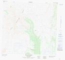
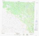
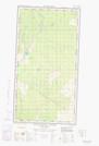
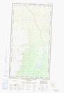
Maps showing Level Mountain Range, Cassiar Land District, British Columbia

Level Mountain Range is a Mountain located in Cassiar Land District, British Columbia.

  • Latitude: 58° 23' 46'' North   (decimal: 58.3961111)
  • Longitude: 131° 24' 6'' West   (decimal: -131.4016666)
  • Topography Feature Category: Mountain
  • Geographical Feature: Range
  • Canadian Province/Territory: British Columbia
  • Location: Cassiar Land District
  • Atlas of Canada Locator Map: Level Mountain Range
  • GPS Coordinate Locator Map: Level Mountain Range Lat/Long

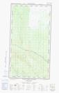
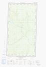
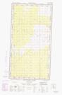
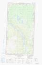
Level Mountain Range NTS Map Sheets

104J03E Tahltan River Topographic Map at 1:50,000 scale

104J03W Tahltan River Topographic Map at 1:50,000 scale

104J05E Ketchum Lake Topographic Map at 1:50,000 scale

104J05W Ketchum Lake Topographic Map at 1:50,000 scale

104J06 Beatty Creek Topographic Map at 1:50,000 scale

104J11 Granite Lake Topographic Map at 1:50,000 scale

104J12E Dudidontu River Topographic Map at 1:50,000 scale

104J12W Dudidontu River Topographic Map at 1:50,000 scale

104J Dease Lake Topographic Map at 1:250,000 scale

 
Buy Topographic Maps DVD
Newsletter Sign-up

Yes, I want to receive map store discounts.


Bookmark and Share