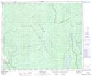
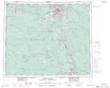
Maps showing Anderson, Cariboo Land District, British Columbia
Anderson is a Unincorporated area located in Cariboo Land District, British Columbia.
- Latitude: 53° 21' 0'' North (decimal: 53.3500000)
- Longitude: 122° 2' 40'' West (decimal: -122.0444000)
- Topography Feature Category: Unincorporated area
- Geographical Feature: Former Locality
- Canadian Province/Territory: British Columbia
- Location: Cariboo Land District
- Atlas of Canada Locator Map: Anderson
- GPS Coordinate Locator Map: Anderson Lat/Long
Anderson NTS Map Sheets