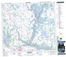
Maps showing Beatton River, Peace River Land District, British Columbia
Beatton River is a River located in Peace River Land District, British Columbia and has an elevation of 469 meters.
- Latitude: 56° 6' North (decimal: 56.0999999)
- Longitude: 120° 23' West (decimal: -120.3833000)
- Topography Feature Category: River
- Geographical Feature: River
- Canadian Province/Territory: British Columbia
- Elevation: 469 meters
- Location: Peace River Land District
- Atlas of Canada Locator Map: Beatton River
- GPS Coordinate Locator Map: Beatton River Lat/Long
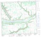
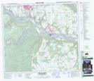
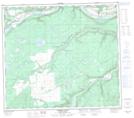
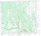
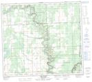
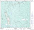
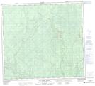
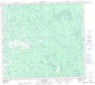
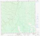
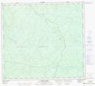
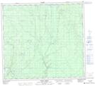
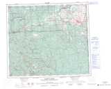
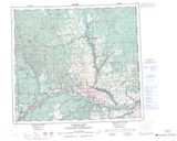
Beatton River NTS Map Sheets
094A01 Shearer Dale Topographic Map at 1:50,000 scale
094A02 Fort St John Topographic Map at 1:50,000 scale
094A03 Moberly River Topographic Map at 1:50,000 scale
094A06 Bear Flat Topographic Map at 1:50,000 scale
094A07 North Pine Topographic Map at 1:50,000 scale
094A10 Rose Prairie Topographic Map at 1:50,000 scale
094A15 Milligan Creek Topographic Map at 1:50,000 scale
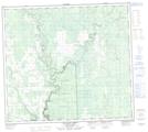
094G01 Julienne Creek Topographic Map at 1:50,000 scale
094G02 Pink Mountain Topographic Map at 1:50,000 scale
094H02 Big Arrow Creek Topographic Map at 1:50,000 scale
094H03 Nig Creek Topographic Map at 1:50,000 scale
094H04 Bubbles Creek Topographic Map at 1:50,000 scale
094H05 La Prise Creek Topographic Map at 1:50,000 scale
094H06 Birley Creek Topographic Map at 1:50,000 scale
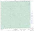
084D Clear Hills Topographic Map at 1:250,000 scale
093P Dawson Creek Topographic Map at 1:250,000 scale
094A Charlie Lake Topographic Map at 1:250,000 scale
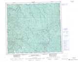
094G Trutch Topographic Map at 1:250,000 scale
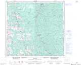
094H Beatton River Topographic Map at 1:250,000 scale