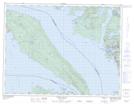
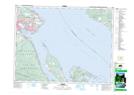
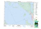
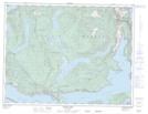
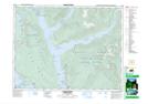
Maps showing Malaspina Strait, New Westminster Land District, British Columbia
Malaspina Strait is a Channel located in New Westminster Land District, British Columbia and has an elevation of 27 meters.
- Latitude: 49° 40' North (decimal: 49.6666999)
- Longitude: 124° 15' West (decimal: -124.2499999)
- Topography Feature Category: Channel
- Geographical Feature: Strait
- Canadian Province/Territory: British Columbia
- Elevation: 27 meters
- Location: New Westminster Land District
- Atlas of Canada Locator Map: Malaspina Strait
- GPS Coordinate Locator Map: Malaspina Strait Lat/Long
Malaspina Strait NTS Map Sheets