Maps showing Dease River, Cassiar Land District, British Columbia
Dease River is a River located in Cassiar Land District, British Columbia and has an elevation of 627 meters.
- Latitude: 59° 55' North (decimal: 59.9167000)
- Longitude: 128° 29' West (decimal: -128.4832999)
- Topography Feature Category: River
- Geographical Feature: River
- Canadian Province/Territory: British Columbia
- Elevation: 627 meters
- Location: Cassiar Land District
- Atlas of Canada Locator Map: Dease River
- GPS Coordinate Locator Map: Dease River Lat/Long
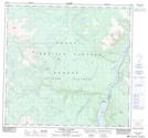
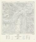
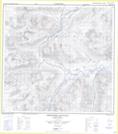
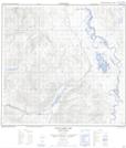
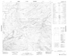
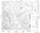
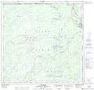
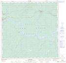
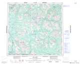
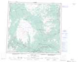
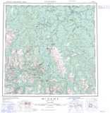
Dease River NTS Map Sheets
104I13 Joe Irwin Lake Topographic Map at 1:50,000 scale
104J16 Porter Landing Topographic Map at 1:50,000 scale
104P03 Mcdame Topographic Map at 1:50,000 scale
104P04 Needlepoint Mountain Topographic Map at 1:50,000 scale
104P06 Good Hope Lake Topographic Map at 1:50,000 scale
104P10 No Title Topographic Map at 1:50,000 scale
104P11 Dot Lake Topographic Map at 1:50,000 scale
104P15 Lutz Creek Topographic Map at 1:50,000 scale
104P16 Lower Post Topographic Map at 1:50,000 scale
104I Cry Lake Topographic Map at 1:250,000 scale
104J Dease Lake Topographic Map at 1:250,000 scale
104P Mcdame Topographic Map at 1:250,000 scale