Canada Topographic Maps

Nevis Creek Topo Maps

Topography maps and Latitude/Longitude Location

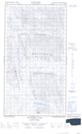
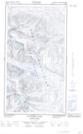
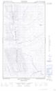
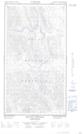
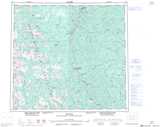
Maps showing Nevis Creek, Peace River Land District, British Columbia

Nevis Creek is a River located in Peace River Land District, British Columbia.

  • Latitude: 57° 27' 20'' North   (decimal: 57.4556000)
  • Longitude: 123° 22' 0'' West   (decimal: -123.3667000)
  • Topography Feature Category: River
  • Geographical Feature: Creek
  • Canadian Province/Territory: British Columbia
  • Location: Peace River Land District
  • GPS Coordinate Locator Map: Nevis Creek Lat/Long

Nevis Creek NTS Map Sheets

094G05E Redfern Lake Topographic Map at 1:50,000 scale

094G05W Redfern Lake Topographic Map at 1:50,000 scale

094G06E Mount Withrow Topographic Map at 1:50,000 scale

094G06W Mount Withrow Topographic Map at 1:50,000 scale

094G Trutch Topographic Map at 1:250,000 scale

 
Buy Topographic Maps DVD
Newsletter Sign-up

Yes, I want to receive map store discounts.


Bookmark and Share