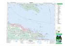
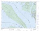
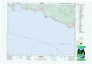
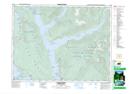
Maps showing Thormanby Islands, New Westminster Land District, British Columbia
Thormanby Islands is a Island located in New Westminster Land District, British Columbia.
- Latitude: 49° 30' North (decimal: 49.5000000)
- Longitude: 124° 00' West (decimal: -123.9999999)
- Topography Feature Category: Island
- Geographical Feature: Islands
- Canadian Province/Territory: British Columbia
- Location: New Westminster Land District
- Atlas of Canada Locator Map: Thormanby Islands
- GPS Coordinate Locator Map: Thormanby Islands Lat/Long
Thormanby Islands NTS Map Sheets