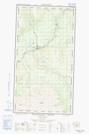
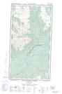
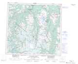
Maps showing Three Sisters Islands, Cassiar Land District, British Columbia
Three Sisters Islands is a Island located in Cassiar Land District, British Columbia.
- Latitude: 57° 50' 22'' North (decimal: 57.8394444)
- Longitude: 131° 22' 49'' West (decimal: -131.3802777)
- Topography Feature Category: Island
- Geographical Feature: Islands
- Canadian Province/Territory: British Columbia
- Location: Cassiar Land District
- Atlas of Canada Locator Map: Three Sisters Islands
- GPS Coordinate Locator Map: Three Sisters Islands Lat/Long
Three Sisters Islands NTS Map Sheets