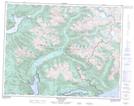
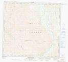
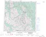
Maps showing Mount Plato, Peace River Land District, British Columbia
Mount Plato is a Mountain located in Peace River Land District, British Columbia.
- Latitude: 58° 43' 56'' North (decimal: 58.7322222)
- Longitude: 125° 25' 14'' West (decimal: -125.420556)
- Topography Feature Category: Mountain
- Geographical Feature: Mount
- Canadian Province/Territory: British Columbia
- Location: Peace River Land District
- Atlas of Canada Locator Map: Mount Plato
- GPS Coordinate Locator Map: Mount Plato Lat/Long
Mount Plato NTS Map Sheets