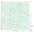
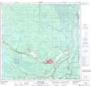
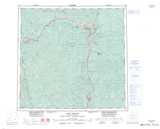
Maps showing Poplar Hills, Peace River Land District, British Columbia
Poplar Hills is a Mountain located in Peace River Land District, British Columbia and has an elevation of 558 meters.
- Latitude: 58° 57' 32'' North (decimal: 58.9588888)
- Longitude: 122° 53' 58'' West (decimal: -122.8994444)
- Topography Feature Category: Mountain
- Geographical Feature: Hills
- Canadian Province/Territory: British Columbia
- Elevation: 558 meters
- Location: Peace River Land District
- Atlas of Canada Locator Map: Poplar Hills
- GPS Coordinate Locator Map: Poplar Hills Lat/Long
Poplar Hills NTS Map Sheets