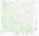
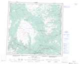
Maps showing Nuthinaw Mountain, Cassiar Land District, British Columbia
Nuthinaw Mountain is a Mountain located in Cassiar Land District, British Columbia.
- Latitude: 58° 47' 25'' North (decimal: 58.7902777)
- Longitude: 131° 3' 46'' West (decimal: -131.0627777)
- Topography Feature Category: Mountain
- Geographical Feature: Mountain
- Canadian Province/Territory: British Columbia
- Location: Cassiar Land District
- Atlas of Canada Locator Map: Nuthinaw Mountain
- GPS Coordinate Locator Map: Nuthinaw Mountain Lat/Long
Nuthinaw Mountain NTS Map Sheets