Maps showing Sentinel Range, Peace River Land District, British Columbia
Sentinel Range is a Mountain located in Peace River Land District, British Columbia and has an elevation of 1794 meters.
- Latitude: 59° 0' North (decimal: 59.0000000)
- Longitude: 125° 39' West (decimal: -125.6500000)
- Topography Feature Category: Mountain
- Geographical Feature: Range
- Canadian Province/Territory: British Columbia
- Elevation: 1794 meters
- Location: Peace River Land District
- Atlas of Canada Locator Map: Sentinel Range
- GPS Coordinate Locator Map: Sentinel Range Lat/Long
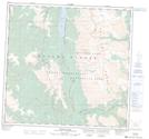
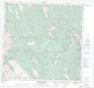
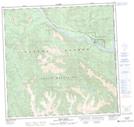
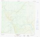
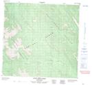
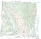
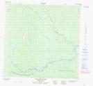
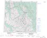
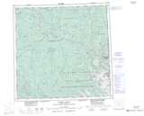
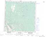
Sentinel Range NTS Map Sheets
094K13 Muncho Lake Topographic Map at 1:50,000 scale
094K14 Toad Hot Springs Topographic Map at 1:50,000 scale
094M08 Vents River Topographic Map at 1:50,000 scale
094N01 Dunedin River Topographic Map at 1:50,000 scale
094N03 Eight Mile Creek Topographic Map at 1:50,000 scale
094N04 Trout River Topographic Map at 1:50,000 scale
094N05 Mount Prudence Topographic Map at 1:50,000 scale
094N06 Grayling River Topographic Map at 1:50,000 scale
094K Tuchodi Lakes Topographic Map at 1:250,000 scale
094M Rabbit River Topographic Map at 1:250,000 scale
094N Toad River Topographic Map at 1:250,000 scale