Maps showing Tahltan Highland, Cassiar Land District, British Columbia
Tahltan Highland is a Mountain located in Cassiar Land District, British Columbia.
- Latitude: 57° 59' North (decimal: 57.9832999)
- Longitude: 131° 30' West (decimal: -131.5000000)
- Topography Feature Category: Mountain
- Geographical Feature: Highland
- Canadian Province/Territory: British Columbia
- Location: Cassiar Land District
- Atlas of Canada Locator Map: Tahltan Highland
- GPS Coordinate Locator Map: Tahltan Highland Lat/Long
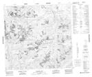
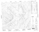
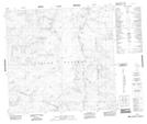
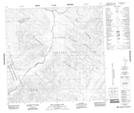
Tahltan Highland NTS Map Sheets
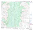
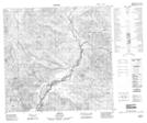
104G01 Iskut River Topographic Map at 1:50,000 scale
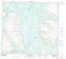
104G08 Refuge Lake Topographic Map at 1:50,000 scale
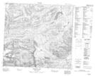
104G13 Tahltan Lake Topographic Map at 1:50,000 scale
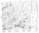
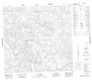
104K01 Bearskin Lake Topographic Map at 1:50,000 scale
104K07 Trapper Lake Topographic Map at 1:50,000 scale
104K08 Tatsamenie Lake Topographic Map at 1:50,000 scale
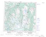
104K09 No Title Topographic Map at 1:50,000 scale
104K10 King Salmon Lake Topographic Map at 1:50,000 scale
104K14 Inklin Topographic Map at 1:50,000 scale
104K15 Yeth Creek Topographic Map at 1:50,000 scale
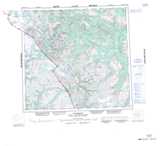
104G Telegraph Creek Topographic Map at 1:250,000 scale
104K Tulsequah Topographic Map at 1:250,000 scale